
Utility Manhole Mapping Project
Data Collection Services and GIS Consulting

City and County of Honolulu, HI. 2006 to present.
PGPS routinely conducts GPS surveys of existing street assets such as manholes, drain inlets, catch basins, valve boxes, street survey monuments, fire hydrants, and centerline monuments, to support the efforts of the CCH's Department of Design and Construction. The data is integrated with existing CCH data sets to ensure infrastructure compatibility during repaving projects on Oahu. The data is collected by PGPS field crews from local and arterial streets using Trimble Geo XH's running Terrasync software. The data is post processed using Pathfinder Office software to a high accuracy specification, and then exported into Autodesk and/or ESRI GIS formats (including web mapping services). CCH and the construction firms use this data to perform quality control on the paving process, which significantly reduces the accidental paving of street assets. In addition to conducting the field work, PGPS project manages the GPS portion of the paving project by facilitating interaction between CCH and construction.
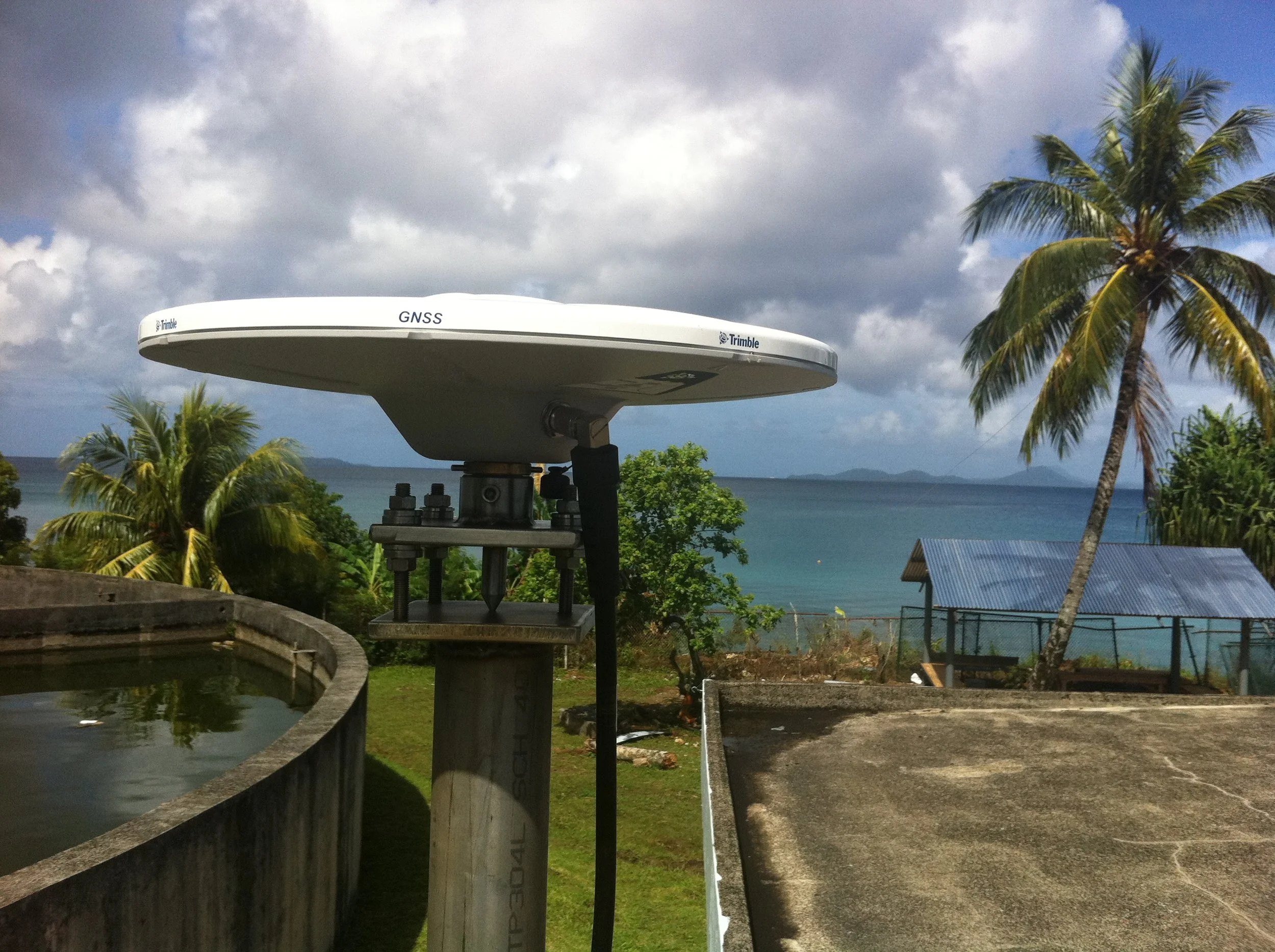
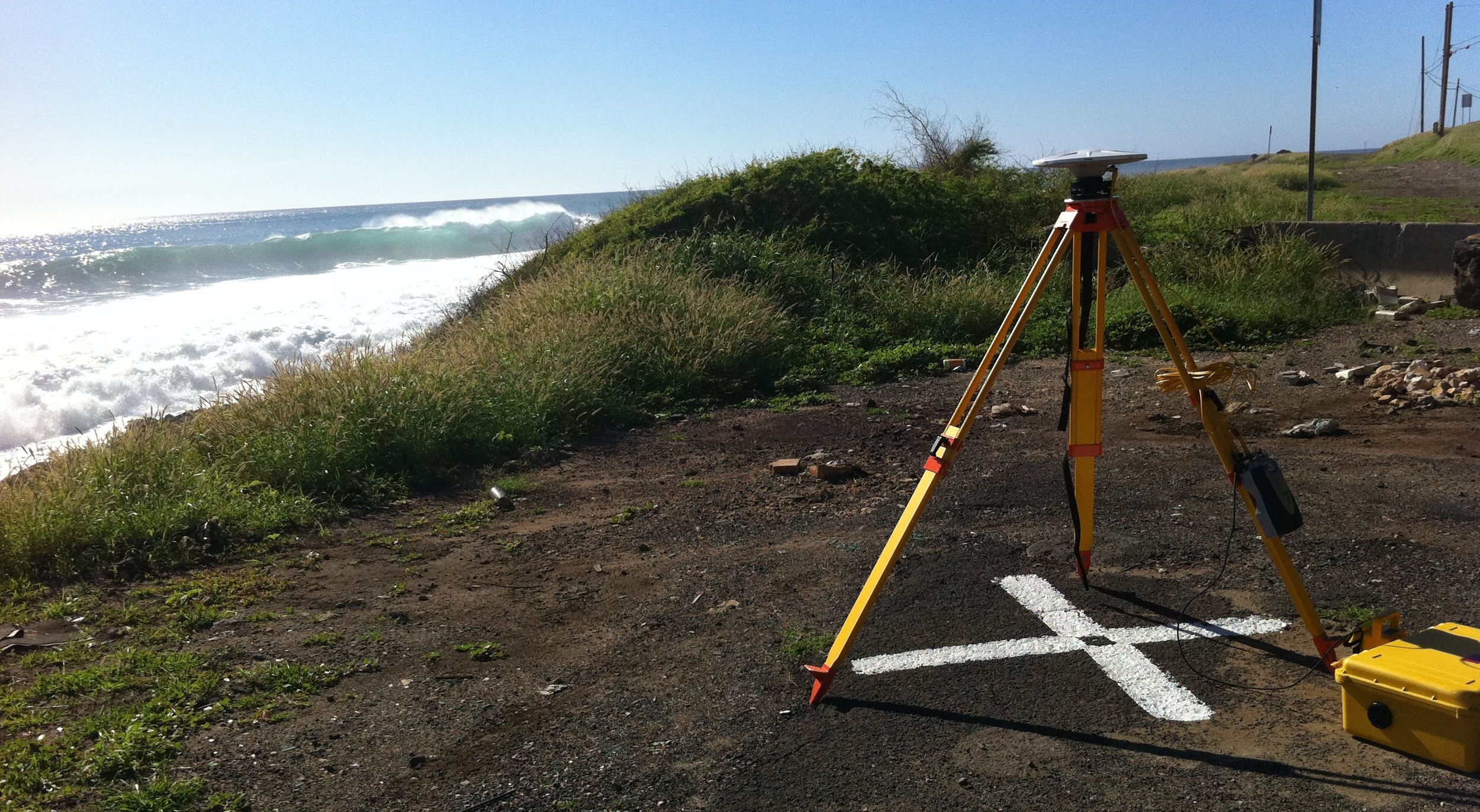
Permanent GNSS Reference Stations
Installation and Survey

Miscellaneous global locations. 2007 to present.
PGPS installs and establishes new coordinates for permanent Global Navigation Satellite System (GNSS) reference stations. The point of reference is surveyed with respect to local control monuments, NGS control and existing Continuously Operating Reference Stations (CORS), where applicable.
GNSS Equipment Testing and Data Collection Services
Performance Analysis of Different Grades of GNSS Units in Helicopter Operations
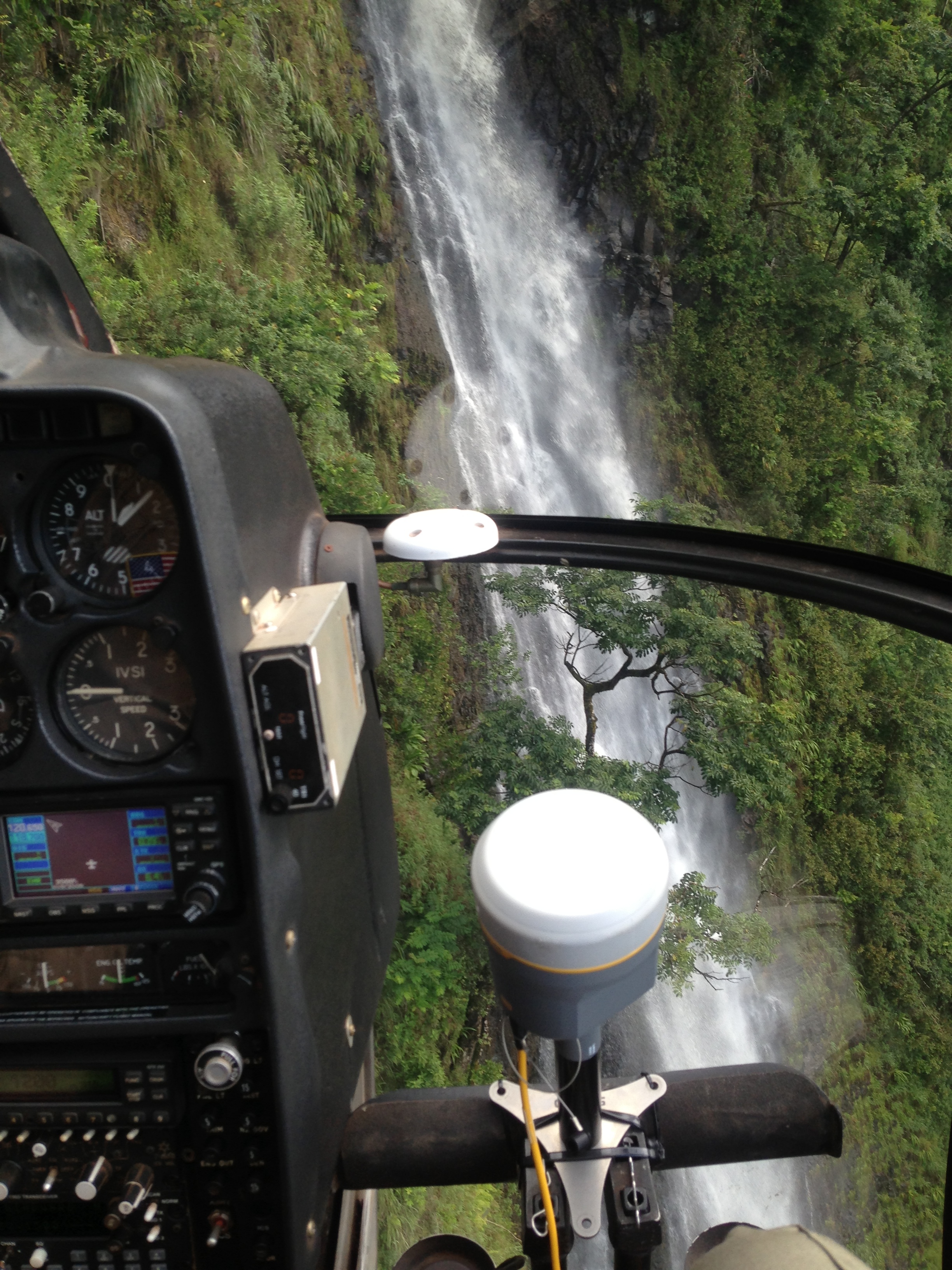
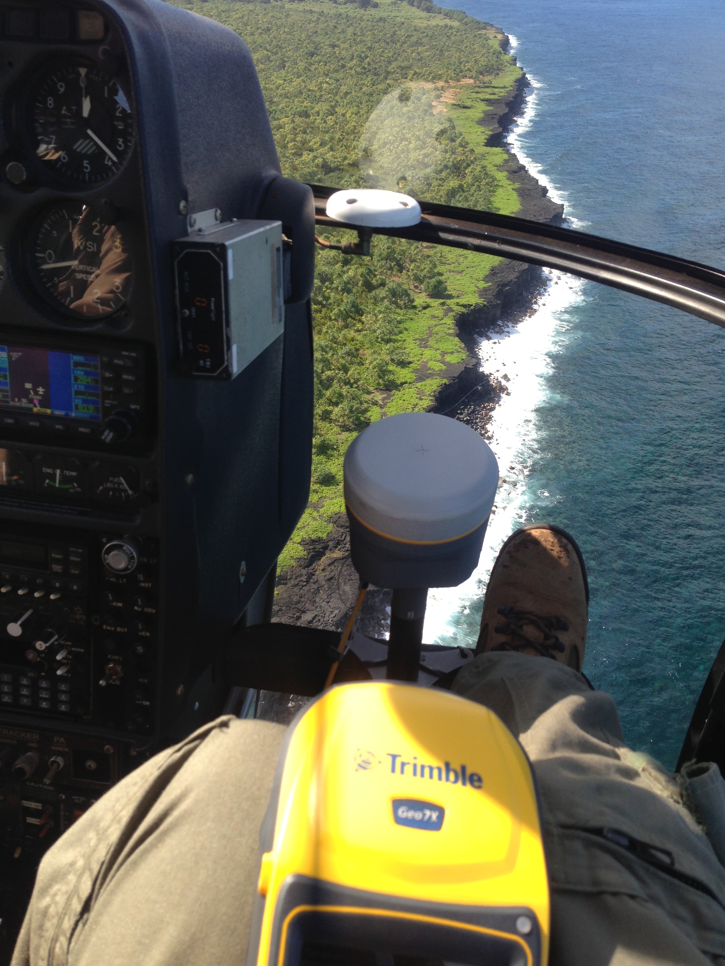
University of Hawaii, Manoa and Maui Invasive Species Committee. Hana, Maui, HI. October 2015.
Hawaii’s forested watersheds are exceptionally difficult terrain often only accessible by helicopter. Obtaining accurate GNSS positions for mapping events and features is a major problem in aerial surveillance in these remote landscapes. This study analyzed the performance of survey-grade (Trimble R10), mapping-grade (Trimble Geo 7 and Trimble Juno 5), and consumer-grade (ASUS Nexus 7, Motorola Droid Turbo, and Garmin Foretrex 401) GNSS receivers, recording inside the fuselage of a Hughes 500D helicopter while conducting low-altitude surveillance flights searching for invasive plant species in the mountainous terrain of the East Maui Watershed (Hawaii, US).
Architect and Engineering Services for Professional Geographic Information & Services
Remote sensing, GIS and Data Collection Services
Various Locations, Primarily in the Pacific and Indian Ocean Areas. Naval Facilities Engineering Command Pacific. 2009 to 2012.
PGPS was the Prime contractor, teaming with L-3 Services Inc. and Towill, Inc. on this $5M three year Indefinite Delivery, Indefinite Quantity (IDIQ) contract. As the Program and Contract Manager, PGPS oversaw a variety of geospatial tasks including data collection through remote sensing (e.g. satellite imagery, LiDAR, aerial photography), feature extraction, research of records, and field data collection (e.g. conventional surveying techniques, GNSS/GPS, ground penetrating radar). PGPS managed updates and maintenance of GIS data, research and population of metadata, training, documentation of GIS data, preparation of technical user guides and manuals, writing of technical reports pertaining to GIS systems development and needs, database design and development, data modeling, database administration; development and/or implementation of GIS applications for the desktop, server, and internet environments; the electronic integration of graphic, narrative, pictorial, and tabular data; on-site support, underground utility surveying, and floor plan and real property inventories and updates.